SURVEYING & GEOSPATIAL SOLUTIONS
Every great project
starts with
accurate ground.
From the first field measurement to your final engineering drawing. Surveying, GIS mapping and solar engineering for confident decisions.
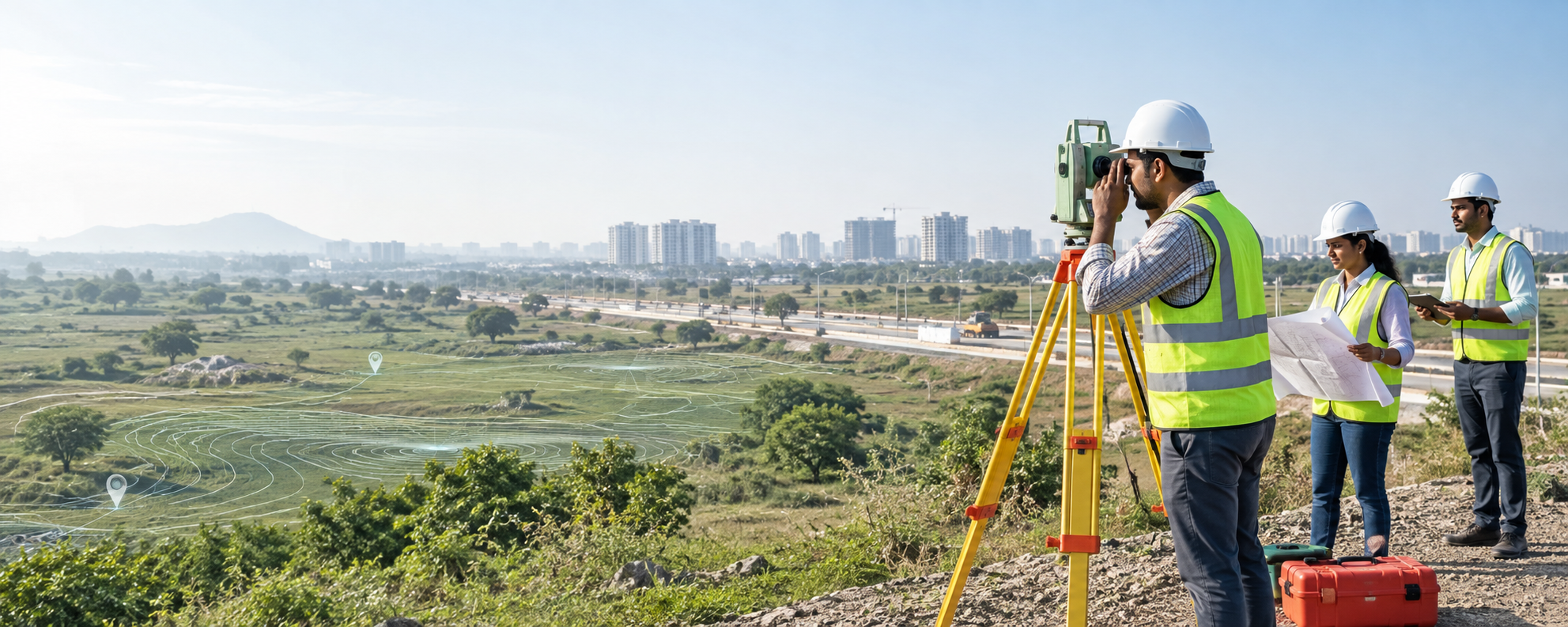
Engineering clarity.DGPS · TOTAL STATION · GIS
Expertise for every layer of your site.
Topographical Survey
Accurate ground levels, contours, site features, and base maps.
GIS Mapping & Spatial Data
Spatial data preparation, asset mapping, and layered GIS outputs.
Engineering Survey
Setting-out, area and volume calculations for engineering projects.
GPS Control Survey
Reference points and control networks using GPS/GNSS technology.
Drone Survey
Aerial imagery, 3D mapping and site monitoring.
Solar Plant Designing & PMC
Solar site evaluation, system design and project management.
Solar Inverter AMC & Services
Inverter fault diagnosis, repairs and maintenance support.
SCADA Services & AMC
SCADA maintenance, on-site support and solar communication solutions.
Electronic Pipe Locator Assisted Utility Mapping
Excavating blindly risks damaging underground infrastructure. Our specialized Electronic Pipe Locator system pinpoints non-exposed metallic water mains, gas pipelines, power cables, and telecommunication conduits before civil construction begins.
Locates underground utilities accurately without digging test pits.
Directly exported to AutoCAD with precise depth and coordinate tags.
Survey Equipment & Software Stack
DGPS & Dual-Frequency GNSS
Sub-centimeter ground coordinate positioning and elevation benchmarking.
Precision Total Stations & Auto Levels
High-accuracy angular measurements and precise ground level profiling.
AutoCAD, Civil 3D & ArcGIS Software
Professional vector processing, contour generation, and spatial databases.
From fieldwork to finished drawings.
Structured workflow ensuring high accuracy, clear documentation, and reliable engineering deliverables.
Scope & Requirement Study
We review project objectives, site boundaries, accuracy requirements, datum benchmarks, and expected output formats.
Field Survey & Data Capture
Deploying DGPS, Total Stations, and Electronic Pipe Locators on-site to record ground coordinates and subsurface features.
CAD & GIS Processing
Raw field data is filtered, post-processed, layered, digitized, and quality-verified by senior CAD/GIS engineers.
Quality Audit & Map Delivery
Final delivery of CAD drawings, GIS shapefiles, contour sheets, and printed volume reports ready for engineering work.
Our clients across infrastructure & energy
Government bodies, engineering firms and energy companies featured in our company profile.





















Plan your survey timeline
Calculate estimated field survey timelines and recommended deliverable formats for your site.
Questions & Answers
What surveying equipment and technologies do you utilize?
We use advanced DGPS (Differential Global Positioning System), high-precision Total Stations, Auto Levels, and specialized Electronic Pipe Locators for non-destructive subsurface utility mapping.
What deliverable formats do you provide?
We deliver drawings in AutoCAD (.DWG, .DXF), GIS shapefiles (.SHP, .GeoJSON, .KML), GeoTIFF imagery, PDF reports, Excel coordinate sheets, and high-resolution printed survey maps.
How does Electronic Pipe Locating work for utility mapping?
Our Electronic Pipe Locator detects metallic pipelines, electrical cables, and conductive utilities underground by tracing electromagnetic frequencies without digging or damaging ground infrastructure.
Where is your office and which regions do you serve?
Established in Mirzapur, Uttar Pradesh, we have our contact office in Sector 63, Noida. Our company profile includes projects across Uttar Pradesh, Punjab and other locations in India.
How can we get a quick project quote?
You can use our interactive cost estimator on the site or fill out the Contact Us form with your project area and site location. Our team will review your requirement and respond promptly.